 Mobile Atlas Creator 1.9.8
MOBAC - (Open Source)
Create offline atlases from online maps for the favorite mobile navigation program with this useful software named Mobile Atlas Creator.
Mobile Atlas Creator is a powerful application that allows to create and edit maps for GPS (Garmin, Magellan and others), PC or and cell phone applications like TrekBuddy, AndNav and other Android, iPhone and Windows Mobile based applications. The application supports multiple resolutions of maps and different zoom levels, from multiple online sources. Simply drag and drop the maps to assemble, save as "Profile" and export as an image (JPG or PNG).
As source for an offline atlas Mobile Atlas Creator can use a large number of different online maps such as OpenStreetMap and other online map providers.
Create offline atlases for a large number of different (mobile) applications and GPS handhelds: AFTrack (Symbian), AlpineQuest (Android), AndNav (Android), BackCountry Navigator (Android), Big Planet Tracks SQLite format (Android), CacheBox (Windows Mobile), Cachewolf, Galileo Offline Maps (iOS), Garmin Custom Map - KMZ (GPS handhelds), Glopus (Pocket PC), Google Earth, GPS Sport Tracker, Magellan RMP (GPS handhelds) & VantagePoint, Maplorer (Windows CE/Windows Mobile), Maverick (Android), Mobile Trail Explorer (J2ME) - single tiles and MTECache file, NaviComputer (Windows Mobile), nfComPass (WinCE, WinMobile, WinXP), OruxMaps (Android), OsmAnd, Osmdroid (Android), OSMtracker (Windows Mobile/Pocket PC), OziExplorer (single 24bit PNG image with calibration (MAP) file, PathAway (Windows Mobile), RMaps SQLite (Android), [Nokia] Sports Tracker, Touratech QV (Windows software, commercial), TrekBuddy (J2ME, Android), TwoNav / CompeGPS, u-blox and others.
The application offers full support for network connections via HTTP proxy.
- Title:
- Mobile Atlas Creator 1.9.8
- File Size:
- 5.9 MB
- Requirements:
- Windows (All Versions)
- Language:
- en-us
- License:
- Open Source
- Date Added:
- 06 Jul 2012
- Publisher:
- MOBAC
- Homepage:
- http://www.mobac.sourceforge.net
- MD5 Checksum:
- 2CE5C16339EC306E6D3646A25819C652
- Viewranger atlas format depends on Java Advanced Imaging without checking
- OurxMaps SQLite: Memory handling changed (should prevent OutOfMemoryError)
- Fixed progress bar in atlas progress window for large atlases
- Possibility added to use SQLite Java Wrapper (ch-werner) instead of default sqlite library
- Replaced the old SQLite library with recent version of Xerial. This fixes all problems creating databases larger than 2GB on Windows 64bit
- CacheWolf: Custom tile processing re-enabled
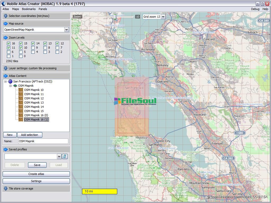
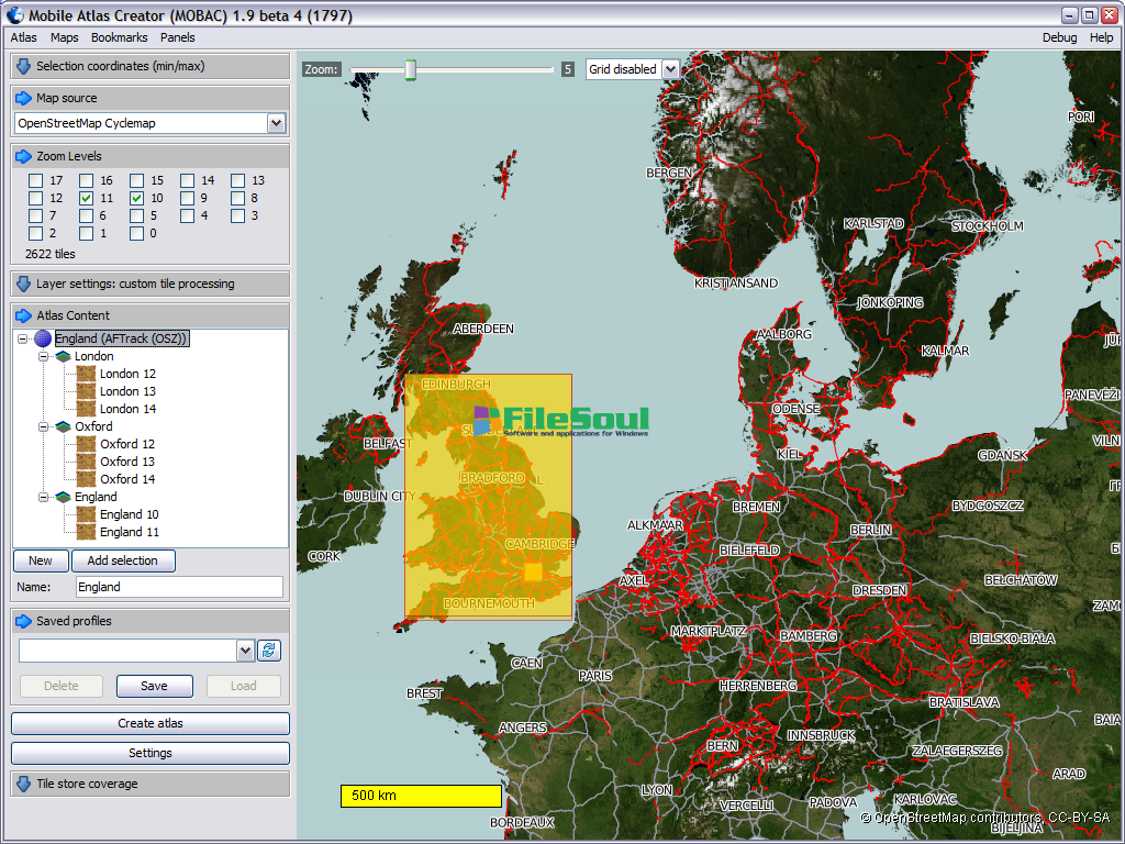
Screenshots
Related software
4.2/5 from 49 users