 Google Earth 4.0.2080 Beta
Google - (Freeware)
View 3D Earth, 3D representations of monuments, buildings, stars and satellites or just study the interactive globe with the amazing application called Google Earth.
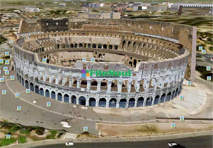
Google Earth is a virtual globe that can be used to view the images recorded by satellite from most places in the world.
By entering the place to visit in the search, the application leads the user from space or a few meters above the ground, directly to destination. The accuracy of the photos is amazing.
Globe handling is very intuitive, being possible to orient the camera to rotate, move and naturally enlarge the image.
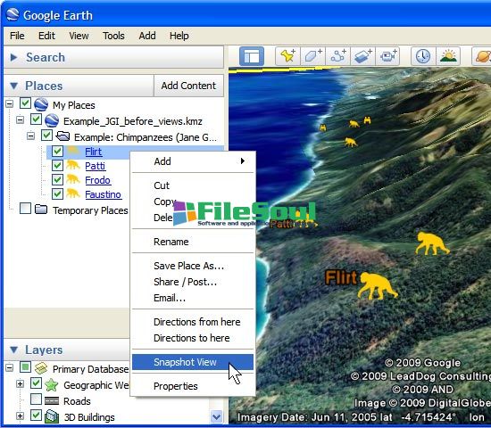
Additional information can be overlaid on the satellite image, such as hotels, restaurants, roads, etc.
Google Earth is entirely in 3D, relief areas (land and sea) and the buildings are also apparent.
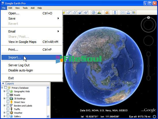
It is possible to annotate the map, send a satellite photo by e-mail or to make measurements to the nearest centimeter. Google Earth is now linked to Google Maps with a single click and user can also vary the lighting of a place based on time.
The application offers the possibility to connect a GPS to view the route and take advantage of specific data such as elevations, speed, etc.
- Title:
- Google Earth 4.0.2080 Beta
- File Size:
- 13.7 MB
- Requirements:
- Windows 2000 / XP / Vista / Windows7 / XP64 / Vista64 / Windows7 64 / Windows8 / Windows8 64
- Language:
- en-us
- License:
- Freeware
- Date Added:
- 13 Sep 2006
- Publisher:
- Homepage:
- http://www.google.com
- MD5 Checksum:
- B453B302DB0CBC790B53FFAC25F73196
- Japanese language support (Japanese version is available here - earth.google.co.jp )
- Layer data for Japan, including countrywide 3D buildings
- Featured content layer (now available in all versions)
- A new interface for viewing time-stamped /time-range image overlays
- Improved printing option for turn-by-turn driving directions with satellite imagery
- New KML folders options with radio button style placemarks (under my places)
- Support for Hi-definition (HDTV) movie output (Pro version only)
- Support for Web Mapping Service(WMS) image/data overlays (now in free version too)
- Universal Transverse Mercator (UTM) coordinate system grid overlay
Screenshots
Related software
4.8/5 from 62 users