 Google Earth 7.0.1.8244 Beta
Google - (Freeware)
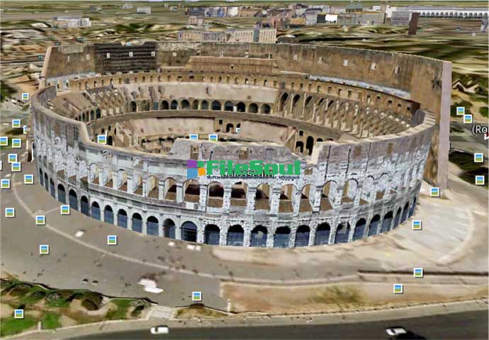
View 3D Earth, 3D representations of monuments, buildings, stars and satellites or just study the interactive globe with the amazing application called Google Earth.
Google Earth is a virtual globe that can be used to view the images recorded by satellite from most places in the world.
By entering the place to visit in the search, the application leads the user from space or a few meters above the ground, directly to destination. The accuracy of the photos is amazing.
Globe handling is very intuitive, being possible to orient the camera to rotate, move and naturally enlarge the image.
Additional information can be overlaid on the satellite image, such as hotels, restaurants, roads, etc.
Google Earth is entirely in 3D, relief areas (land and sea) and the buildings are also apparent.
It is possible to annotate the map, send a satellite photo by e-mail or to make measurements to the nearest centimeter. Google Earth is now linked to Google Maps with a single click and user can also vary the lighting of a place based on time.
The application offers the possibility to connect a GPS to view the route and take advantage of specific data such as elevations, speed, etc.
- Title:
- Google Earth 7.0.1.8244 Beta
- File Size:
- 23.3 MB
- Requirements:
- Windows 2000 / XP / Vista / Windows7 / XP64 / Vista64 / Windows7 64 / Windows8 / Windows8 64
- Language:
- en-us
- License:
- Freeware
- Date Added:
- 01 Nov 2012
- Publisher:
- Homepage:
- http://www.google.com
- MD5 Checksum:
- 034F73112C7334419B5DC9B813F6894B
# New
* Support for 3D imagery data: 3D data provides a comprehensive representation of metropolitan environments around the world. 3D imagery is currently available in the these areas.
* Tour Guide mechanism in the client: The new tour guide allows you to explore interesting places around the world, even if you don’t know to search for them. As you move, thumbnails of pre-created tours and points of interest will dynamically update with interesting locations in your current view. Read more.
* Support for terrain data accessed via Google Maps Engine
* Zooming in now tilts at a higher elevation in order to showcase 3D imagery
* A unified graphical rendering pipeline
* Redesigned startup tips and status bar
# Issues fixed
* Fixed a Pro and Enterprise bug whereby cached login data disappeared after upgrading to Mac OS 10.8+.
* Sound can now be recorded from a microphone when producing a tour.
* Improved Atmosphere feature for users on certain NVIDIA GeForce cards.
* Polygons clamped to seafloor now display correctly.
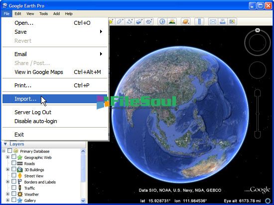
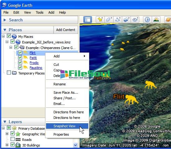
Screenshots
Related software
4.8/5 from 62 users