 Google Earth 7.1.1.1871
Google - (Freeware)
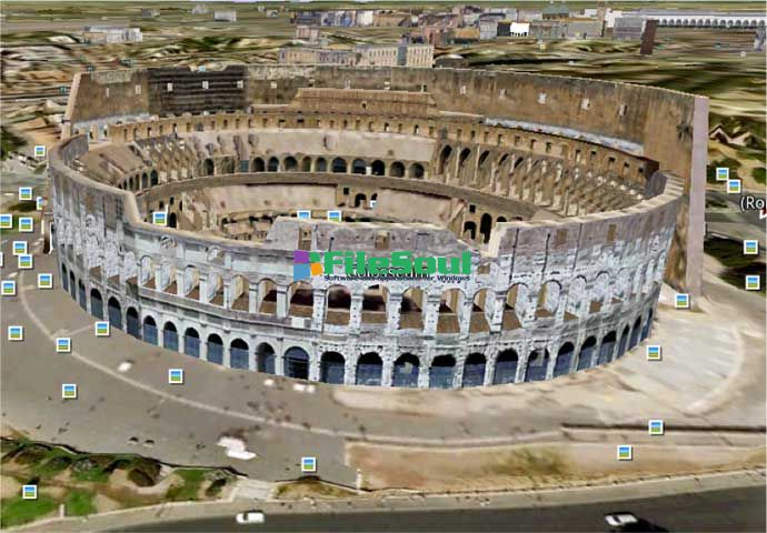
View 3D Earth, 3D representations of monuments, buildings, stars and satellites or just study the interactive globe with the amazing application called Google Earth.
Google Earth is a virtual globe that can be used to view the images recorded by satellite from most places in the world.
By entering the place to visit in the search, the application leads the user from space or a few meters above the ground, directly to destination. The accuracy of the photos is amazing.
Globe handling is very intuitive, being possible to orient the camera to rotate, move and naturally enlarge the image.
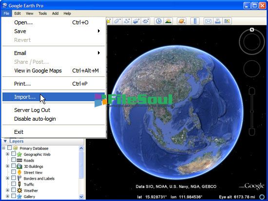
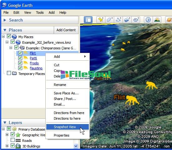
Additional information can be overlaid on the satellite image, such as hotels, restaurants, roads, etc.
Google Earth is entirely in 3D, relief areas (land and sea) and the buildings are also apparent.
It is possible to annotate the map, send a satellite photo by e-mail or to make measurements to the nearest centimeter. Google Earth is now linked to Google Maps with a single click and user can also vary the lighting of a place based on time.
The application offers the possibility to connect a GPS to view the route and take advantage of specific data such as elevations, speed, etc.
- Title:
- Google Earth 7.1.1.1871
- File Size:
- 24.2 MB
- Requirements:
- Windows 2000 / XP / Vista / Windows7 / XP64 / Vista64 / Windows7 64 / Windows8 / Windows8 64
- Language:
- en-us
- License:
- Freeware
- Date Added:
- 27 Jun 2013
- Publisher:
- Homepage:
- http://www.google.com
- MD5 Checksum:
- 96C353470DA01F345513558CD8301DD2
- We have included another fix for the unified_cache_leveldb_leveldb2 directory filling beyond specified cache limits for some Windows and Macintosh users.
- Imagery no longer stays blurry upon zooming in when the cache is full.
- Certain NVIDIA cards, notably the GeForce 6600, 6800 and 7950, no longer suffer corrupted text or navigation controls in DirectX mode.
- Font and tilt settings now stick between sessions.
- Balloon opens now display when recording tours.
- We have included UI improvements to Flight Simulator.
- When printing, the scale legend now displays correct distances.
- Collada models now display with uncorrupted textures.
- Polygons and image overlays now display correctly across the Antimeridian.
- We fixed an issue with certain GPU - driver combinations whereby no imagery displayed in the client.
- The time slider in Sun and Historical Imagery features now displays the correct Daylight Savings time.
- Performance and stability improvements.
- [Pro] Artifact .avi files are no longer created when rendering movies from tours on Windows. [Pro] Calculating a Viewshed in parts of the southern hemisphere no longer displays an error.
- [Pro] The scale legend in the print flow no longer disappears when view is tilted, nor does it change between high-, medium- and low-quality prints
Screenshots
Related software
4.8/5 from 62 users